MST Trailside · Problem 1
Gardener’s Path
v9★★
Finding you…On MST Trailside
Show on map
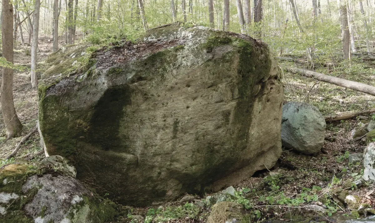
Starting low on a sloper ledge, climb direct through edges. A tough one.
- Pads
- 2
- Height
- 14 ft
- Faces
- S
- Approach
- 13 min
Photos & Video
On this boulder5
- 1 Gardener’s Path v9 ★★
- 2 Center Project Project
- 3 Roland Rumble v6 ★★★
- 4 MST Warmup v3 ★★
- 5 Undone
Approach
13 min hike near Stony Fork, PA Directions Map
Approach notes
Hike east uphill along the Mid State Trail for 0.4 miles (13 minutes) until you can spot the boulder in the middle of the creek. Hike down the bank and enjoy it.