All areas
LeRoy, PA
The beta
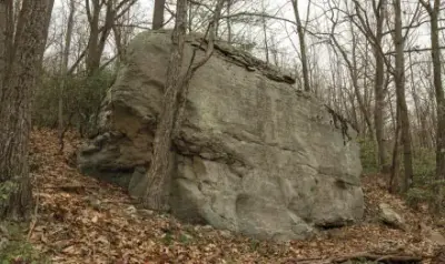
A hard and futurist slab boulder. The rock here is perfect and the features are micro.
Park here and hike SW down the slope/old mining road. Once to the edge of the forest go left and downhill (steep) along the outcropping until you reach the largest part for 145 yards (3 minutes). Head directly down you should see the top of the boulder once into the mountain laurel. Should take 5 minutes (100 yards). GPS recommended for first timers. Due to the lack of visibility in the forest.
0 problems · 4 projects