Stony Fork
Stony Fork, PA
Stony Fork: Roland Run
41.5936° N, 77.3438° WThe beta
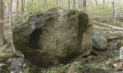
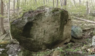
A nice pocketed boulder in the middle of the creek bed. A handful of quality lines. For adventurous souls more rock exists up on the north hillside.
Hike east uphill along the Mid State Trail for 0.4 miles (13 minutes) until you can spot the boulder in the middle of the creek. Hike down the bank and enjoy it.
Best problemsAll 5 ›
3 problems · 2 projects