All areas
LeRoy, PA
The beta
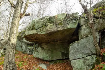
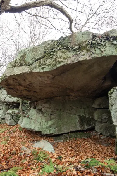
A nice dead horizontal roof is the focal point here and is the only boulder covered. Many new problems could be unearthed, have fun adventurous souls. Probably not worth a visit unless you are local, bored, or looking to all points dyno moderate.
From the parking hike 15 minutes (1 mile) along the road to the pond. When pond becomes visible there will be a small opening to your right. Enter here to avoid thick forest and fire up intuition or your GPS a hike north east to the band of rock. The off-trail portion should take about 15 minutes (0.5 mile). You may favor hiking above the rock outcrops the dip down when you’re close. Good luck.
Best problemsAll 1 ›
1 problem